Yonaguni Monument
Yaeyama Islands, Okinawa, Japan · 5–27m · advanced · exposed
Stepped rock formation off Japan's westernmost island, whose origin is still argued over. Strong current and open to the Pacific.
Conditions today
Retrieved · refreshed hourly
marginal
Marginal — 0.8m effective waves in the morning window.
Limiting factor: waves
- Wave height
- 0.6–1.3m
- Wave period
- 7.4–9.8s
- Wind chop
- 0–0.2m
- Sea temp
- 29.1–29.6°C
Ranges span today's hours. Wave height here is the raw sea state — the rating scales it for how exposed the site is. Exposed — open water with nothing to block the swell, so it is scored at full height.
Next few days
- TodayMarginal — 0.8m effective waves in the morning window.marginal
- SundayMarginal — 1.0m effective waves in the morning window.marginal
- MondayMarginal — 0.8m effective waves in the morning window.marginal
Each day is scored over its morning dive window, the same as today's rating.
Dive briefing
AI-generated
Conditions today are marginal due to wave action, with 0.8m effective wave height in the morning window. Raw sea state is forecast at 0.6–1.3m, with wave periods of 7.4–9.8 seconds and minimal wind-wave contribution. This is an exposed site with strong current and depth to 27 metres, so you'll need advanced certification. Water temperature sits at 29.1–29.6°C.
Divers commonly log scalloped hammerheads and green sea turtles here, along with lionfish, unicornfish, electric blue hermit crabs, and occasional bottlenose dolphins. The stepped rock formation itself is the main draw. Given the marginal rating and exposed location, judge your entry and exit carefully, and stay aware of the current throughout your dive.
Written by Claude (claude-haiku-4-5-20251001) from the rating, forecast, and sightings on this page — it has no other source and cannot look anything up. Treat it as a summary, not as local knowledge.
Commonly seen here
Most-recorded species near this site, ranked by research-grade iNaturalist sightings from divers, snorkelers, and naturalists.
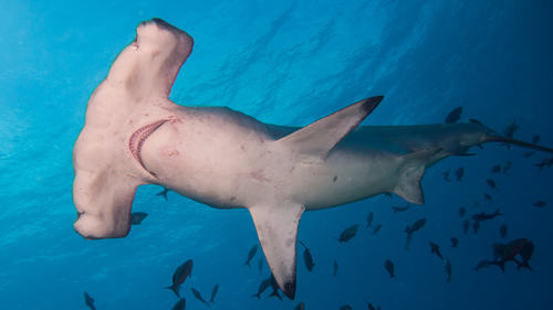 Sphyrna lewini4 sightings
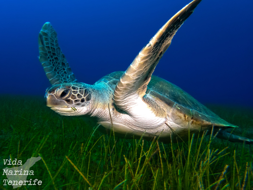 Chelonia mydas3 sightings
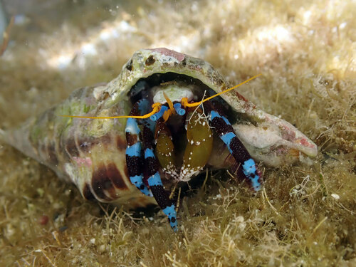 Calcinus elegans3 sightings
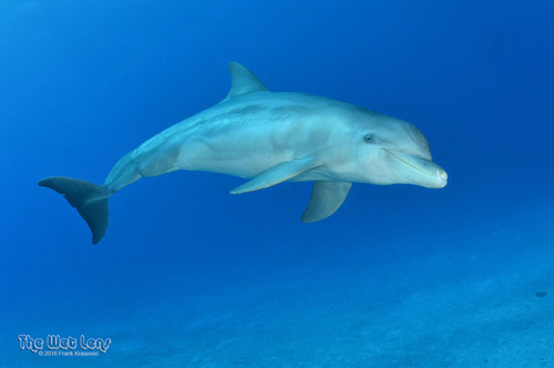 Common Bottlenose Dolphin(opens on iNaturalist)Marine mammalTursiops truncatus2 sightings
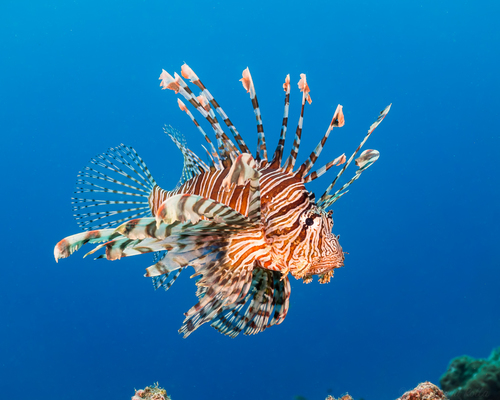 Pterois volitans2 sightings
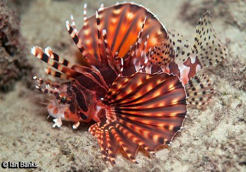 Dendrochirus zebra2 sightings
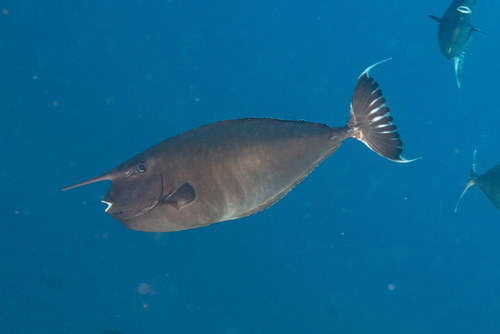 Naso annulatus2 sightings
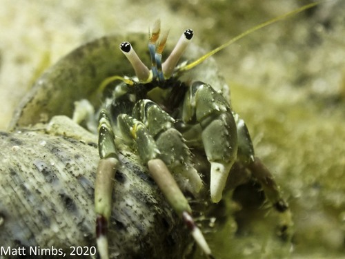 Hidden Hermit Crab(opens on iNaturalist)CrustaceanCalcinus latens2 sightings
Species come from iNaturalist — research-grade sightings logged by divers, snorkelers, and naturalists nearby. The ranking reflects what people photograph most, not guaranteed abundance. Ask a local operator what's actually being seen. Species names link to iNaturalist for range maps, seasonality and more photos. Photos by iNaturalist contributors under Creative Commons licences — individual credit on hover.