El Aguila Wreck
Roatán, Bay Islands, Honduras · 20–33m · advanced · semi
230ft cargo ship broken into three sections on sand at 33m off Sandy Bay, patrolled by huge green morays and groupers.
Conditions today
Retrieved · refreshed hourly
marginal
Marginal — 0.5m effective waves made worse by short-period chop.
Limiting factor: period
- Wave height
- 0.5–1m
- Wave period
- 3.9–4.6s
- Wind chop
- 0–1m
- Sea temp
- 29.7–30.6°C
Ranges span today's hours. Wave height here is the raw sea state — the rating scales it for how exposed the site is. Semi-exposed — partial protection, so swell is scored at three-quarters of its open-water height.
Next few days
- TodayMarginal — 0.5m effective waves made worse by short-period chop.marginal
- SundayMarginal — 0.4m effective waves made worse by short-period chop.marginal
- MondayExcellent — calm morning with 0.4m effective waves.excellent
Each day is scored over its morning dive window, the same as today's rating.
Dive briefing
AI-generated
El Aguila is an advanced wreck dive in three sections on sand at 33 metres. Today's conditions are marginal due to short-period chop — the sea state is rough for the exposure here, though raw wave heights run 0.5–1m with periods of 3.9–4.6 seconds. Water temperature sits at 29.7–30.6°C. The wreck attracts large green morays and groupers; divers commonly log stoplight and striped parrotfish, Atlantic blue tangs, sergeant majors, Caribbean bluehead wrasses, and four-eyed butterflyffish, along with Caribbean spiny lobsters.
These conditions call for solid buoyancy control and a clear plan. The short-period chop will make the descent and ascent more work than flat days, so take your time and stay composed. Advanced certification is the minimum here.
Written by Claude (claude-haiku-4-5-20251001) from the rating, forecast, and sightings on this page — it has no other source and cannot look anything up. Treat it as a summary, not as local knowledge.
Commonly seen here
Most-recorded species near this site, ranked by research-grade iNaturalist sightings from divers, snorkelers, and naturalists.
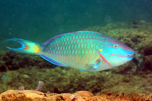 Sparisoma viride430 sightings
- no photoAcanthurus coeruleus320 sightings
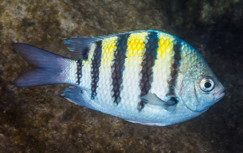 Abudefduf saxatilis299 sightings
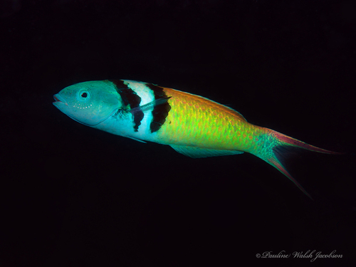 Thalassoma bifasciatum275 sightings
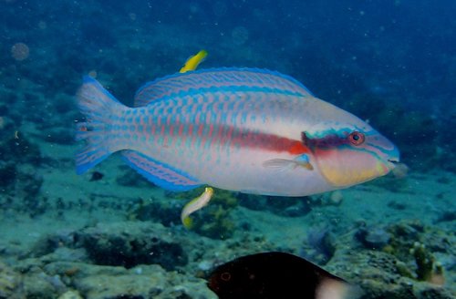 Scarus iseri215 sightings
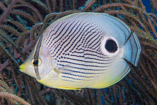 Chaetodon capistratus186 sightings
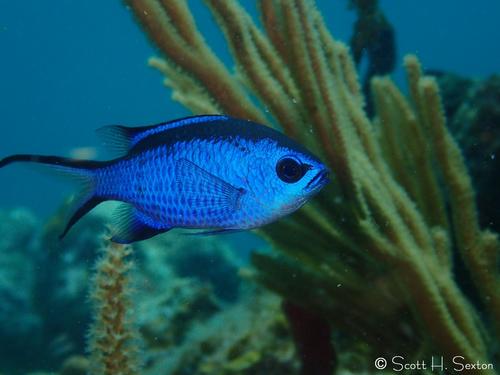 Azurina cyanea163 sightings
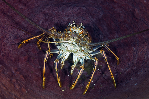 Panulirus argus161 sightings
Species come from iNaturalist — research-grade sightings logged by divers, snorkelers, and naturalists nearby. The ranking reflects what people photograph most, not guaranteed abundance. Ask a local operator what's actually being seen. Species names link to iNaturalist for range maps, seasonality and more photos. Photos by iNaturalist contributors under Creative Commons licences — individual credit on hover.
Other sites nearby
Within 25km, closest first — usually the same day's boat.