Don Quickset
Utila, Bay Islands, Honduras · 8–25m · intermediate · exposed
West-side reef near Utila's northwest coast.
Conditions today
Retrieved · refreshed hourly
marginal
Marginal — 0.6m effective waves made worse by short-period chop.
Limiting factor: period
- Wave height
- 0.4–0.9m
- Wave period
- 3.8–4.8s
- Wind chop
- 0–0.7m
- Sea temp
- 29.8–30.6°C
Ranges span today's hours. Wave height here is the raw sea state — the rating scales it for how exposed the site is. Exposed — open water with nothing to block the swell, so it is scored at full height.
Next few days
- TodayMarginal — 0.6m effective waves made worse by short-period chop.marginal
- SundayMarginal — 0.5m effective waves made worse by short-period chop.marginal
- MondayMarginal — 0.4m effective waves made worse by short-period chop.marginal
Each day is scored over its morning dive window, the same as today's rating.
Dive briefing
AI-generated
This west-side reef dive requires intermediate certification and will give you depths between 8 and 25 metres. Conditions are marginal today: the short-period chop at 3.8–4.8 seconds is making the sea state difficult despite modest raw wave heights of 0.4–0.9m. The site's exposed location amplifies this effect. Water temperature sits at 29.8–30.6°C. Plan conservatively and be prepared for an uncomfortable ascent and descent.
Divers commonly log stoplight parrotfish, spotted eagle rays, and schoolmaster snappers here. Hawksbill sea turtles are often recorded, along with Atlantic blue tangs, queen angelfish, and Caribbean bluehead wrasse. Western Atlantic trumpetfish are also sighted regularly. Watch the conditions briefing as you plan your entry and exit.
Written by Claude (claude-haiku-4-5-20251001) from the rating, forecast, and sightings on this page — it has no other source and cannot look anything up. Treat it as a summary, not as local knowledge.
Commonly seen here
Most-recorded species near this site, ranked by research-grade iNaturalist sightings from divers, snorkelers, and naturalists.
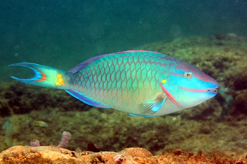 Sparisoma viride84 sightings
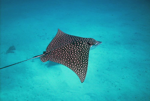 Aetobatus narinari72 sightings
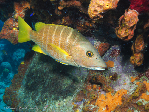 Lutjanus apodus66 sightings
- no photoAcanthurus coeruleus64 sightings
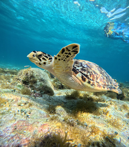 Eretmochelys imbricata63 sightings
- no photoHolacanthus ciliaris59 sightings
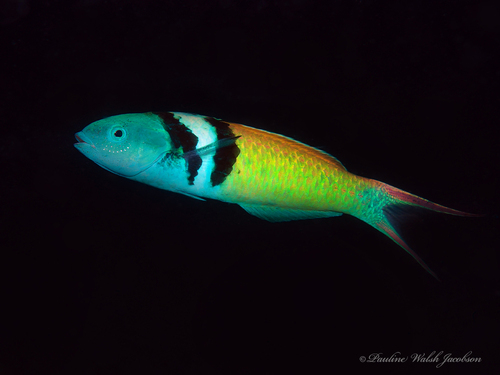 Thalassoma bifasciatum54 sightings
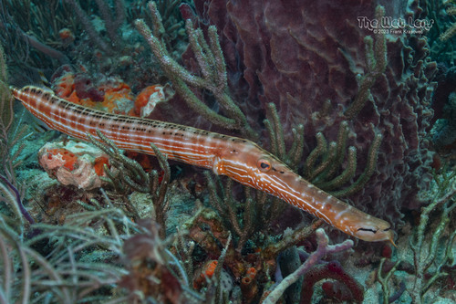 Aulostomus maculatus53 sightings
Species come from iNaturalist — research-grade sightings logged by divers, snorkelers, and naturalists nearby. The ranking reflects what people photograph most, not guaranteed abundance. Ask a local operator what's actually being seen. Species names link to iNaturalist for range maps, seasonality and more photos. Photos by iNaturalist contributors under Creative Commons licences — individual credit on hover.
Other sites nearby
Within 25km, closest first — usually the same day's boat.